Car-Free Hikes from Palma: Best Trails by Train & Bus
How These No-Car Hikes Work
You can reach several headline routes straight from Palma using the city’s rail and island bus network. We’ve picked itineraries with reliable connections, short walk-ins, and clear waymarking — perfect if you’re staying in town and want to keep things simple. For wider planning and GPX basics, start with Hiking in Mallorca from Palma and our ranked list Best Hiking Trails in Mallorca.
🧭 Getting Out of Palma
Short rides put you on trail fast. Aim for early departures in summer and shoulder season weekends.
| Destination Base | From Palma (typical) | Why start here |
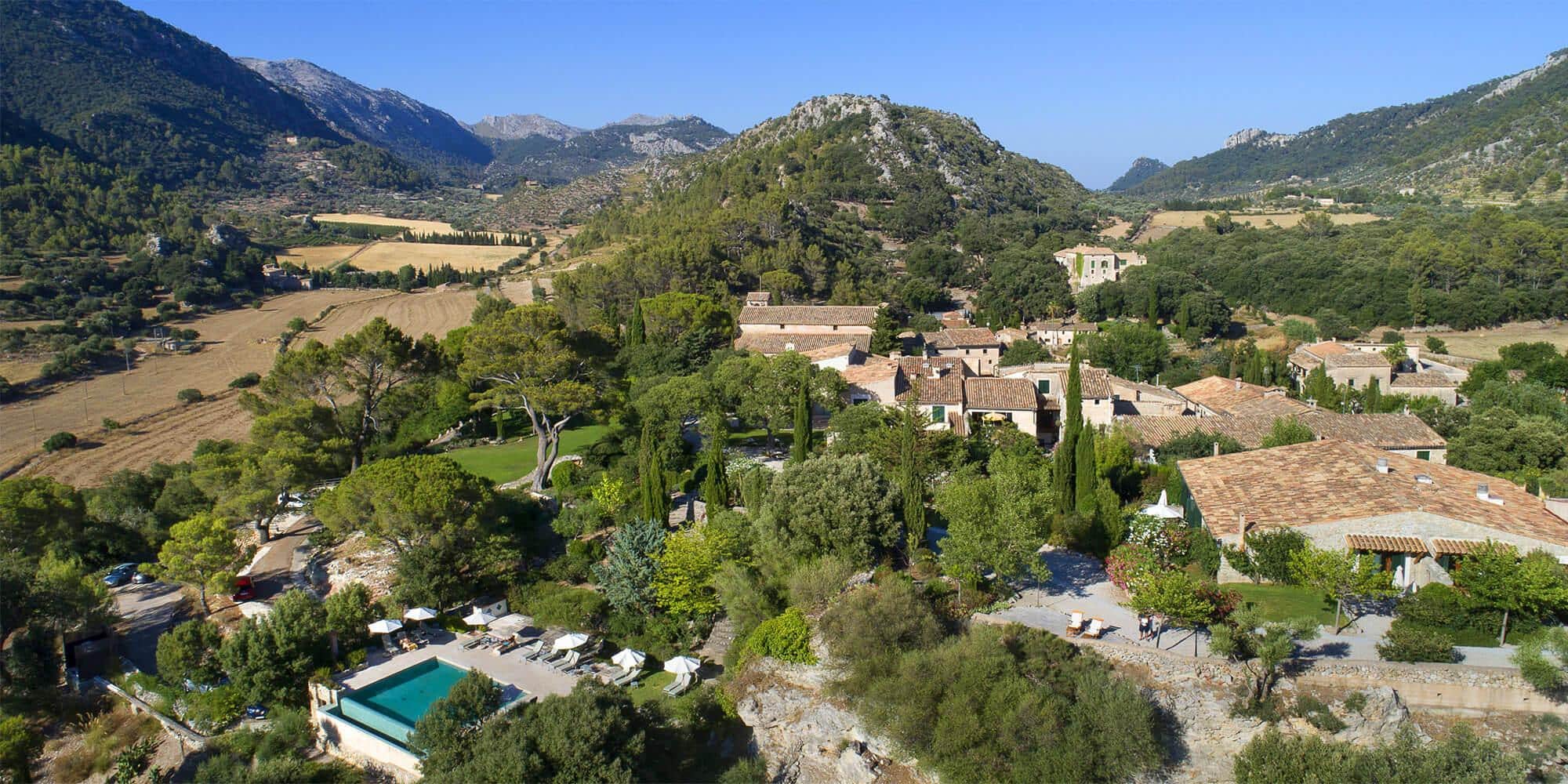
| Valldemossa | ~25–40 min | Ridge views on Camí de s’Arxiduc; quick village amenities. |
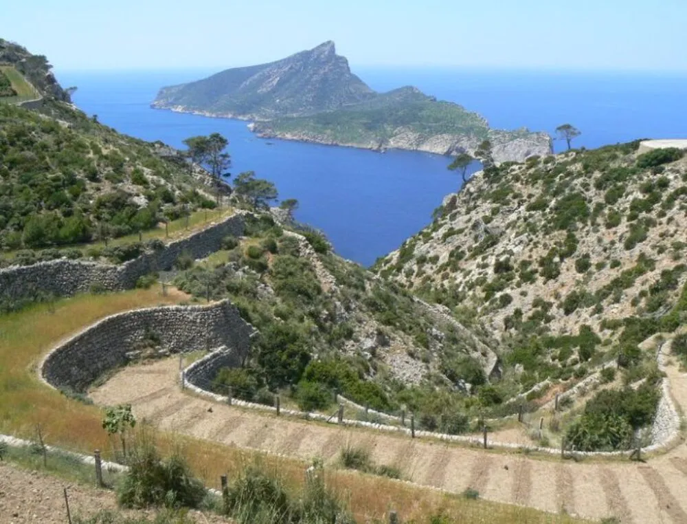
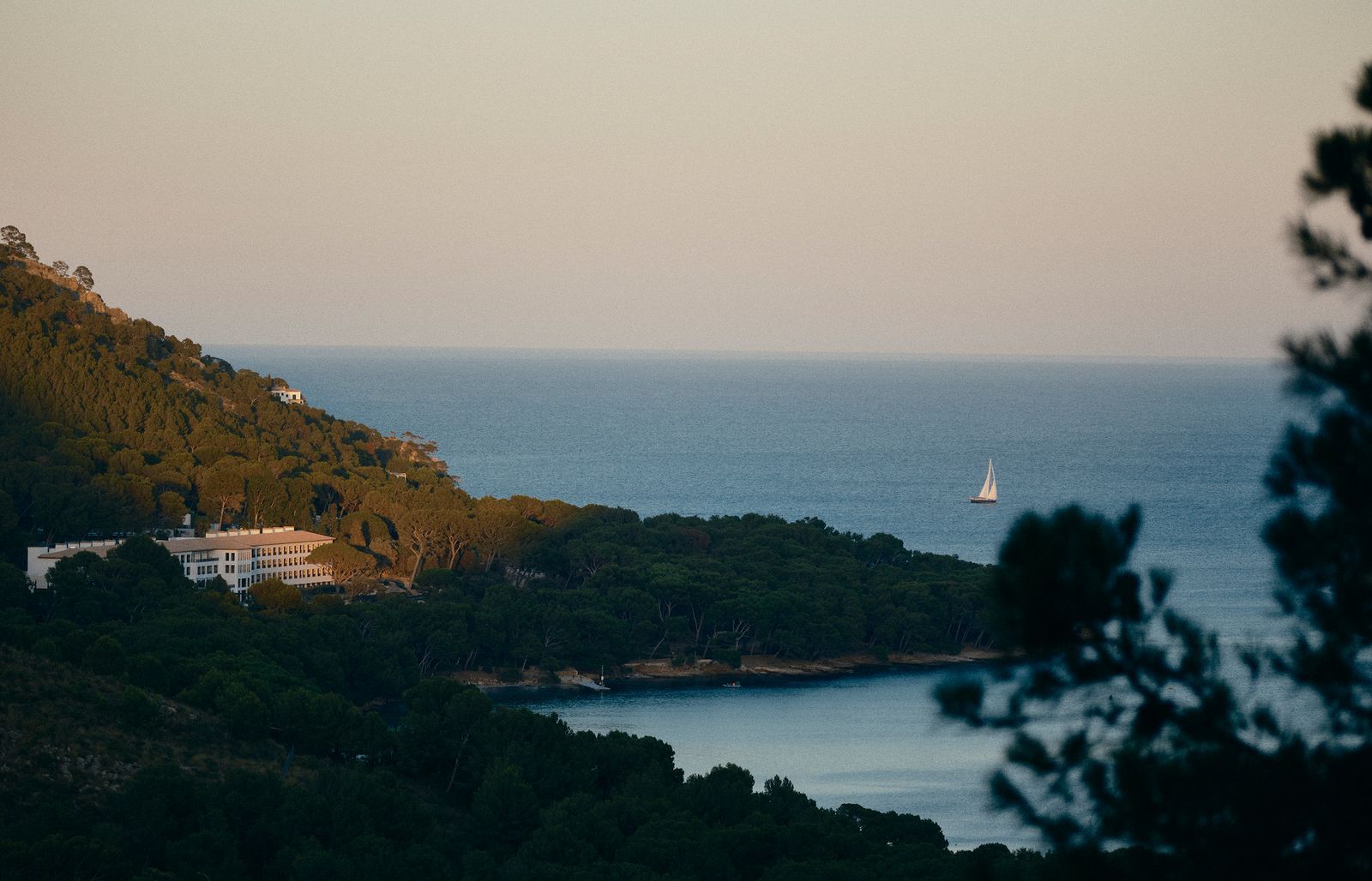
| Sóller (train or bus) | ~60–70 min | Orange-valley paths, coast sections to Port de Sóller. See Palma to Sóller Train. |
| Deià | ~50–70 min | Stone paths and coves; classic GR-221 section options. |
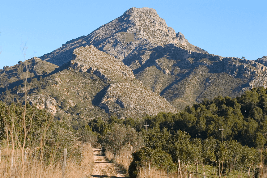
| Alaró | ~40–55 min | Castell d’Alaró ruins & panoramas; great shoulder-season hike. |
| Santanyí / Mondragó | ~90–110 min | Mondragó Natural Park easy loops + beach swim. |
Helpful reads: Public Transport in Mallorca, Serra de Tramuntana.
🚶 Top Car-Free Hikes
Below: short descriptions plus quick stats you can scan on the bus. Use our detailed guides where listed for turn-by-turns and extras.
Valldemossa – Camí de s’Arxiduc (Ridge Balcony Views)
Historic crest paths built by the Archduke, with sweeping sea-and-mountain panoramas. Anti-clockwise loops give gentler climbing and shade early.
Mini table
| Distance | Ascent | Time | Grade | Start/Finish |
| 9–12 km | 500–700 m | 3–4 h | Moderate | Valldemossa village |
Sóller Valley Paths to Port de Sóller (Train-and-Trail Day)
Ride old-world rail, then follow citrus-grove lanes and cobbles to the sea. Swim, tram, or bus back.
Mini table
| Distance | Ascent | Time | Grade | Start/Finish |
| 8–12 km | 200–350 m | 2.5–4 h | Easy–Mod | Sóller → Port de Sóller |
Deià Coastal Section (Coves, Terraces & Turquoise)
A photogenic slice of the GR-221 between Deià and neighboring hamlets/coves. Polished stone in places — grippy shoes help.
Mini table
| Distance | Ascent | Time | Grade | Start/Finish |
| 6–9 km | 250–400 m | 2–3.5 h | Moderate | Deià ↔ coastal path options |
Castell d’Alaró (Ruins & Views)
Farm tracks, pines and a rocky pull to an eagle-nest castle. Pair with a village lunch on cool days.
Mini table
| Distance | Ascent | Time | Grade | Start/Finish |
| 8–10 km | 450–550 m | 2.5–3 h | Moderate | Alaró village / trailheads |
Mondragó Natural Park Loops (Family-Easy + Swim)
Boardwalks and sandy paths linking Cala Mondragó and S’Amarador. Ideal for mixed groups and gentle days.
Mini table
| Distance | Ascent | Time | Grade | Start/Finish |
| 3–5 km | <150 m | 1–1.5 h | Easy | Santanyí → park entrances |
Sóller ↔ Deià (Classic GR-221 Day Section)
Olive terraces, cliff views and a café finish either end. Factor tram/bus timing if you end at the port.
Mini table
| Distance | Ascent | Time | Grade | Start/Finish |
| 10–12 km | 450–600 m | 3.5–4.5 h | Moderate | Sóller ↔ Deià |
🗺️ Map Pins You Can Save
Use “Directions” in your maps app to route from where you are.
Valldemossa – central trail access
Sóller – train station area (start lanes)
Deià – coastal path access
Alaró – Castell route access
Mondragó – S’Amarador car/bus access
🎒 What to Pack for Car-Free Days
- Light trail shoes with grip; reef-safe sunscreen, hat, long sleeves
- 1.5–2.5 L water depending on route/heat; salty snacks or a simple picnic
- Phone with offline maps/GPX breadcrumbs; battery pack
- Small first-aid & blister care; cash/card for cafés and return tickets
📅 When to Go (Weather & Crowds)
| Season | What to expect | Our take |
| Mar–May | Mild, green hills, frequent buses | Prime for ridge days (Valldemossa/Alaró) |
| Jun–Aug | Hot; buses busy with beach traffic | Start early; pick shaded/coastal routes |
| Sep–Oct | Warm sea, fewer crowds | Superb for Deià/Sóller combos |
| Nov–Feb | Crisp air, short days | Great for castles and valley paths |
🦺 Safety & Good Style
- Stay on waymarked trails; close gates; don’t shortcut terraces.
- Heat builds fast in summer — aim for pre-08:30 starts on bigger routes.
- Polished stones = careful footwork (especially around Deià and Sóller).
- Pack out all litter; respect village quiet hours.
🗓️ Sample Weekend Without a Car
| Day | Morning | Afternoon | Evening |
| Sat | Bus to Valldemossa → Camí de s’Arxiduc ridge loop | Late coffee in village | Back to Palma for dinner |
| Sun | Train/bus to Sóller → lanes to Port de Sóller | Swim & tram/bus return | Palma old town stroll |
❓ FAQ
Do I need GPX for these routes?
Not essential on the easy park and village routes, but offline maps/GPX help at junctions and in cloud.
Are these suitable for kids?
Yes for Mondragó and short Sóller/Port paths. Alaró and Arxiduc suit older kids used to uneven ground.
Can I do Torrent de Pareis car-free?
It’s possible but complex. Save Mallorca’s canyon epic for a dedicated day.
Where can I combine a hike and beach by bus?
Mondragó and Formentor Beach are the easiest pairings.
What if the last bus is full?
Leave one departure earlier than the last or be ready to taxi to the nearest hub.
🔒 Related Guides
- Hiking in Mallorca from Palma
- Best Hiking Trails in Mallorca
- Palma to Sóller Train
- Public Transport in Mallorca
- Mondragó Natural Park – Easy Coastal Loops
- Cap de Formentor – Short Cliff Walks