Hiking Deià ↔ Sóller (GR-221 Section) – Coastal Paths with Swim Options
Hiking Route & Why It’s Special
A classic slice of the Dry Stone Route (GR-221): hand-built paths through olive terraces, cliff views, and optional swims if you add a cove detour. It’s the most lovable half-day in the northwest — and easy to reach from Palma by car or bus/train combo. For wider context, see Hiking in Mallorca from Palma and Best Hiking Trails in Mallorca.
🧭 Getting There from Palma
| Mode | Time | Notes |
| Drive to Deià (Ma-10) | ~35–45 min | Park early in signed village car parks. Start south of the village for smoother gradients. |
| Bus to Deià (via Ma-10) | ~50–70 min | Seasonal frequency varies. Add 5–10 min lane walk to the start. |
| Train to Sóller + bus/taxi to Deià | ~1 h total | Scenic combo day: morning Palma→Sóller train, short transfer to Deià, hike back to Sóller. |
Helpful reads: Public Transport, Palma to Sóller Train, Serra de Tramuntana.
🧭 Route Overview (Choose Direction)
Most walkers go Deià → Sóller for a net-downhill feel and a coffee finish in Sóller’s plaza. Sóller → Deià gives quieter mornings and swim timing at coves before lunch.
📏 Distances, Ascent & Time
| Variant | Distance | Ascent | Typical Time | Grade | Notes |
| Deià → Sóller (via Llucalcari) | 9–10 km | ~300–400 m | 3–4 h | Moderate | Classic; terrace paths + sea views |
| Sóller → Deià (direct) | 8–9 km | ~350–450 m | 3–4 h | Moderate | A touch more up; quieter start |
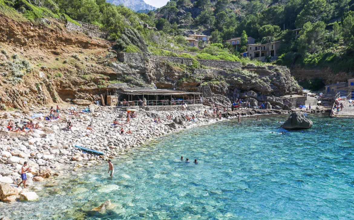
| Add Cala Deià swim detour | +1–1.5 km | +80–120 m | +30–45 min | — | Great on warm days; rock shoes help |
Times include photo stops but not long swims/lunches.
🗺️ Trailhead & Mid-Point Pins
Deià village (south start area)
Llucalcari (mid-section, terraces and views)
Sóller – Plaça Constitució (finish/coffee)
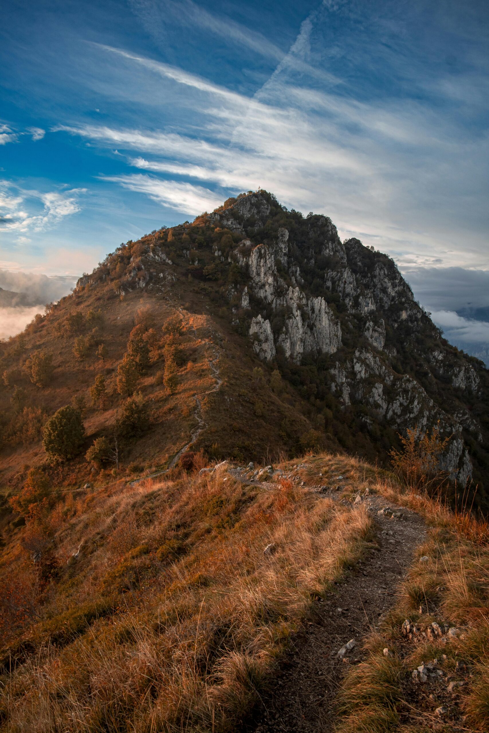
🌿 What You’ll See Along the Way
- Dry-stone lanes through olive terraces and stone fincas
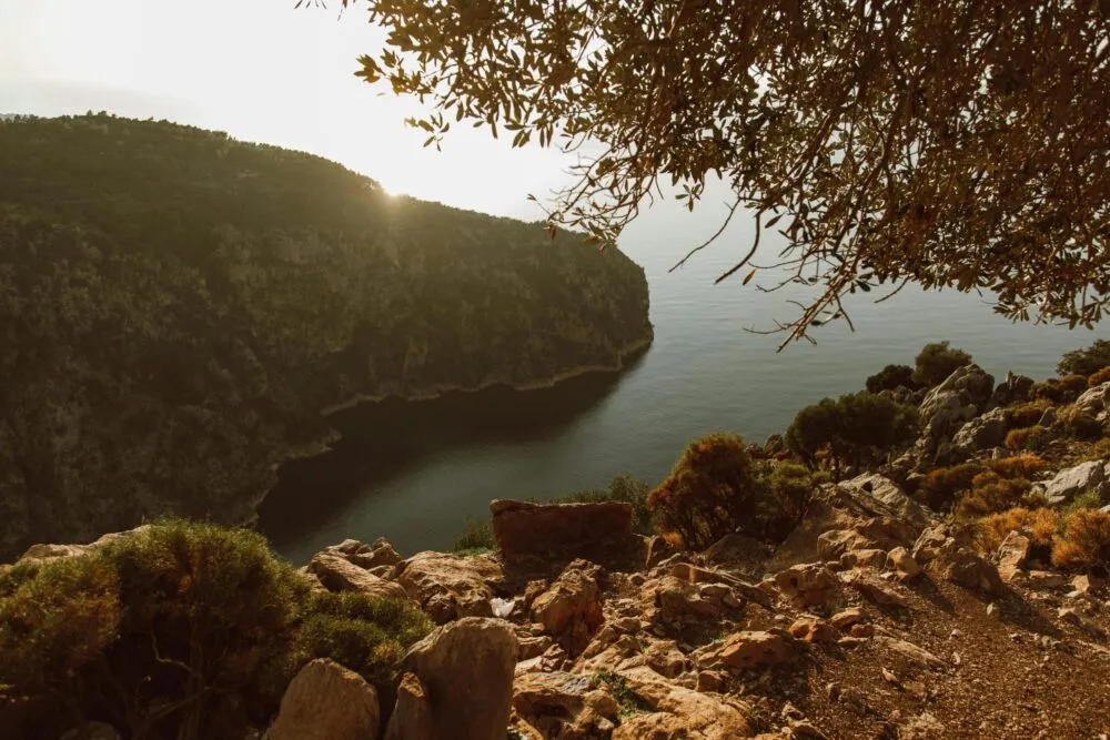
- Sea viewpoints over Cala Deià and the cliffs toward Llucalcari
- Orange-grove approach into Sóller with the vintage tram clattering by
🥾 Step-by-Step (Deià → Sóller, Classic)
- Deià south lanes: pick up the stone path leaving the village; it undulates above the coast.
- Llucalcari terraces: the best photo stretch — olive patterns and turquoise glimpses.
- Optional swim: detour to Cala Deià or another cove in settled seas.
- Orange valley: track inland on farm lanes toward Sóller; finish at the plaza fountain.
🧳 What to Pack (Light & Coastal-Smart)
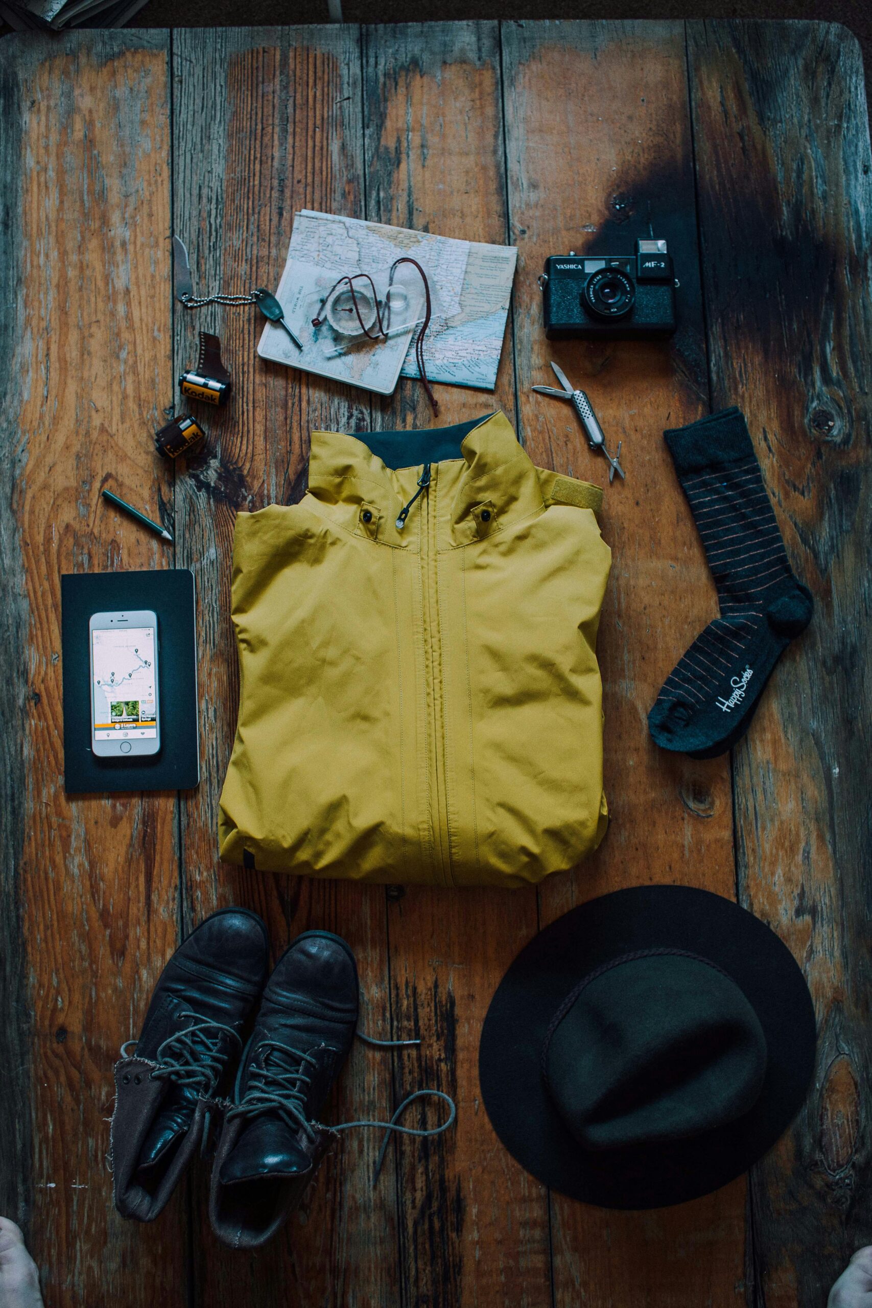
- Trail shoes with grip; hat, light long sleeves
- 1.5–2 L water (refill in villages, not guaranteed en route)
- Snacks, small first-aid, phone with offline maps/GPX
- Water shoes if you’ll scramble/swim at rocky coves
See Hiking in Mallorca from Palma for GPX basics and packing tips.
🕒 When to Hike & Heat Strategy
- Mar–May / Sep–Oct: ideal temperatures and visibility
- Jun–Aug: start before 08:30; use the Cala Deià dip to cool off; carry electrolytes
- Nov–Feb: crisp air and quieter paths; bring a wind layer
🦺 Safety & Access Notes
- Stay on signed public paths; do not shortcut terraces or enter private fincas
- Rocks can be slick with dew or sea spray — tread carefully on polished steps
- Sea detours only in calm conditions; watch slipperiness on algae-coated rocks
- Pack out all litter (including fruit peels and tape)
🍊 Coffee & Finish Ideas in Sóller
- Fountain-side espresso and tortilla at the plaza
- Fresh juice or gelato for a quick sugar top-up
- If returning to Palma, time the Palma to Sóller Train or use TIB buses/taxis
❓ FAQ
Which direction is easier?
Deià → Sóller feels slightly kinder with more downhill into the valley.
Can I do this car-free?
Yes. Bus to Deià, hike to Sóller, then train or bus back toward Palma.
Is Cala Deià worth the detour?
On calm days, yes. Add 30–45 minutes and mind slippery rocks.
Do I need GPX?
The route is well trodden, but offline maps/GPX help at junctions and if mist moves in.
Family-friendly?
For active families used to uneven paths and short climbs, yes. Avoid hot midday starts.
🔒 Related Guides
- Hiking in Mallorca from Palma
- Best Hiking Trails in Mallorca
- Serra de Tramuntana, Mallorca
- Palma to Sóller Train
- What to See in Mallorca